3D Scanning, CMM, and Metrology Solutions

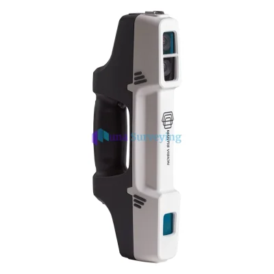
Creaform HandySCAN 3D Scanner

Professional, metrology-grade handheld blue-laser 3D scanner designed for high-precision industrial inspection, quality control, and reverse engineering.

Creaform HandySCAN 3D Scanner
Laser Tracker Systems

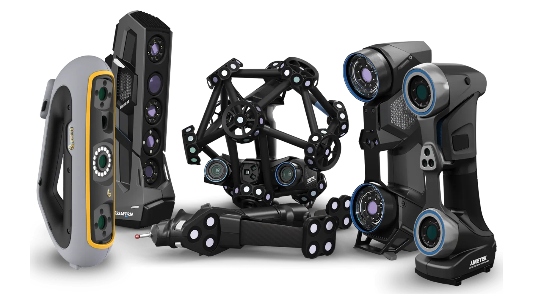
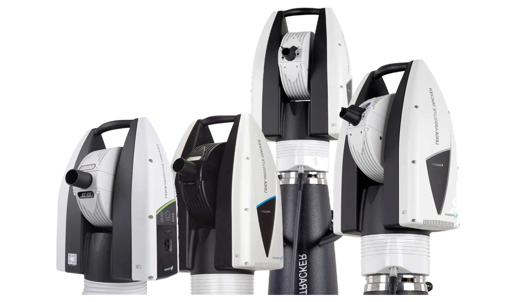
Leica Absolute Tracker

High-accuracy probing, scanning and reflector measurement, while the addition of six-degrees-of-freedom (6DoF) functionality enables the use of handheld probes, laser scanners and machine control solutions.

Leica Absolute Tracker
Find the right tool

Explore by category

From precise positioning to subsurface investigation, browse solutions for the work ahead.

Digital Templating Systems

Digital templating systems help capture dimensions and create digital templates for fabrication and installation. Explore equipment for measuring surfaces, spaces, and components, and review each system’s features and workflow compatibility.

Laser Trackers

Laser trackers measure the position of a target in 3D space and support measurement over large working volumes. Explore systems for dimensional inspection, alignment, assembly, and other large-scale metrology tasks

Videoscope Borescope

Videoscopes and borescopes provide visual access to internal or hard-to-reach areas. Explore inspection tools for maintenance, troubleshooting, and documentation, with probe diameter, length, image quality, and features varying by model.

XRF Analyzer

X-ray fluorescence (XRF) analyzers identify elements in a material by measuring the fluorescent X-rays it emits. Explore instruments for material identification, metals analysis, and screening applications. Results and suitable uses depend on the analyzer, sample, and testing method.

Robotic Total Station

Robotic total stations measure angles and distances and can be operated remotely for surveying and layout tasks. Explore instruments for construction, land surveying, and site measurement, and check each model’s tracking, control, and software capabilities.

Ground Penetrating Radar

Ground-penetrating radar (GPR) uses radar signals to investigate features below a surface without excavation. Explore systems for applications such as utility locating, concrete inspection, and geophysical surveys. Results depend on site conditions, equipment, and operator interpretation.

GPS GNSS Systems

GPS and GNSS systems use satellite positioning to support surveying, mapping, construction layout, and other field measurement tasks. Explore receivers and related equipment, and check each model’s capabilities and compatibility with your workflow.

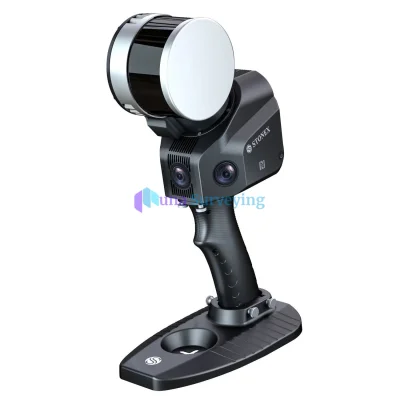
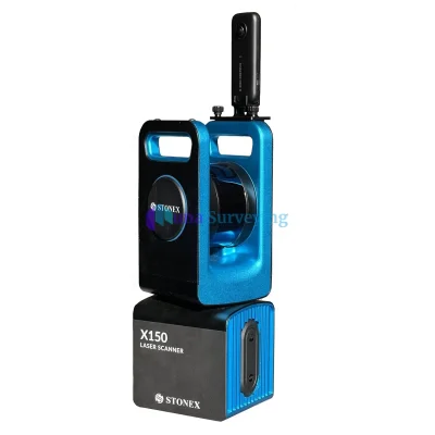
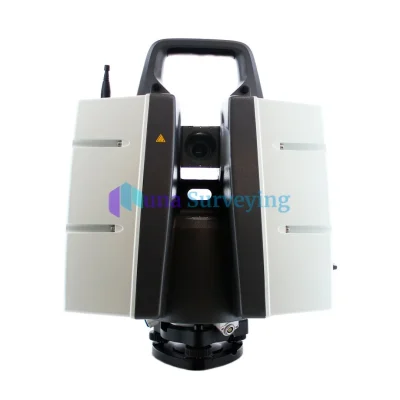
3D Laser Scanner

3D laser scanners capture the shape of objects and environments as digital measurements. Explore systems for surveying, inspection, construction documentation, and reality capture, with capabilities that vary by model and application.