Introduction to 3D Laser Surveying in Construction
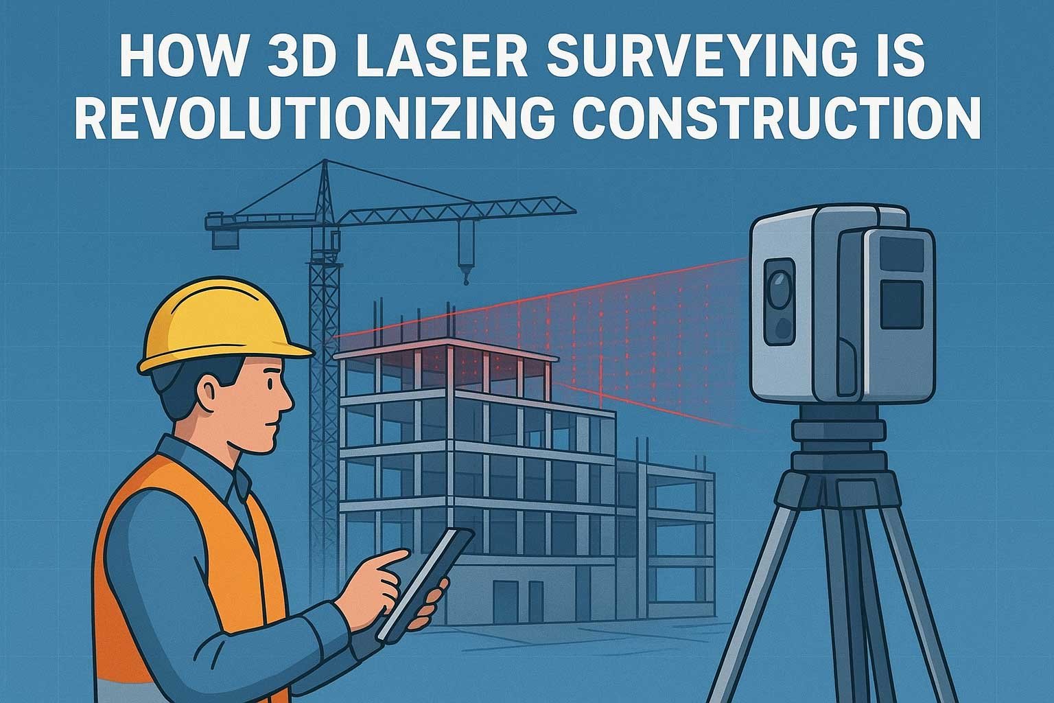
The construction industry is undergoing a technological revolution, and 3D laser surveying is at the forefront of this transformation. This cutting-edge technology, also known as laser scanning or LiDAR (Light Detection and Ranging), captures detailed, accurate measurements of physical spaces in a fraction of the time traditional methods require. By creating precise digital representations of construction sites, buildings, and infrastructure, 3D laser surveying is redefining how projects are planned, executed, and maintained.
In this article, we’ll explore how 3D laser scanning technology is revolutionizing the construction industry, its key benefits, applications, and its role in shaping the future of construction. Whether you’re a contractor, architect, or project manager, understanding this technology is essential for staying competitive in a rapidly evolving field.
What is 3D Laser Surveying?
3D laser surveying uses laser beams to capture millions of data points, creating a detailed “point cloud” that represents a physical environment in three dimensions. These point clouds are processed to generate highly accurate 3D models, which can be used for design, analysis, and documentation. Unlike traditional surveying methods that rely on manual measurements, 3D laser scanners provide unparalleled precision and speed.
The technology is non-invasive, safe, and versatile, making it ideal for a wide range of construction projects, from residential buildings to complex infrastructure like bridges and highways.
Key Benefits of 3D Laser Surveying in Construction
3D laser scanning offers numerous advantages over traditional surveying techniques. Below are some of the most significant benefits:
- Enhanced Accuracy: Laser scanners capture measurements with millimeter-level precision, reducing errors in design and construction.
- Time Efficiency: Scans can be completed in hours, compared to days or weeks for manual surveys.
- Cost Savings: By minimizing errors and rework, 3D laser surveying reduces project costs.
- Improved Collaboration: Digital models can be shared with stakeholders, facilitating better communication and decision-making.
- Safety: Non-contact scanning reduces the need for workers to access hazardous areas.
Comparison of 3D Laser Surveying vs. Traditional Surveying
To illustrate the advantages of 3D laser surveying, let’s compare it to traditional surveying methods:
| Aspect | 3D Laser Surveying | Traditional Surveying |
|---|---|---|
| Accuracy | Millimeter-level precision | Centimeter-level precision |
| Time Required | Hours | Days to weeks |
| Data Output | 3D digital model (point cloud) | 2D drawings or manual measurements |
| Cost Efficiency | Reduces rework and errors, saving costs | Higher risk of errors, increasing costs |
| Safety | Non-contact, minimal risk | May require access to hazardous areas |
Applications of 3D Laser Surveying in Construction
Laser scanning in construction has a wide range of applications, making it a versatile tool for various project phases. Here are some key uses:
1. Site Analysis and Planning
Before construction begins, 3D laser surveying provides detailed topographic data, helping architects and engineers design with precision. It captures existing site conditions, including terrain, structures, and utilities, ensuring accurate planning.
2. Building Information Modeling (BIM) Integration
Building Information Modeling (BIM) relies on accurate data to create digital twins of construction projects. 3D laser scanning feeds precise measurements into BIM software, enabling better visualization, clash detection, and project coordination.
3. Renovation and Retrofitting
For older buildings without up-to-date plans, 3D laser surveying creates as-built models, simplifying renovations and retrofitting. This is particularly useful for historical preservation projects where accuracy is critical.
4. Quality Control and Verification
During construction, laser scanning verifies that work aligns with design specifications. It detects deviations early, preventing costly rework and ensuring quality standards are met.
5. Infrastructure Projects
Large-scale projects like bridges, tunnels, and highways benefit from 3D laser surveying’s ability to capture complex geometries and monitor progress in real-time.
How 3D Laser Surveying Enhances Construction Efficiency
Construction efficiency is a critical factor in project success, and 3D laser surveying delivers significant improvements in this area. By providing accurate data upfront, it minimizes design errors and streamlines workflows. For example:
- Faster Data Collection: A single scan can capture millions of data points in minutes, compared to manual methods that require extensive fieldwork.
- Reduced Rework: Precise measurements eliminate guesswork, reducing the need for costly revisions.
- Real-Time Monitoring: Scans can be conducted throughout the project to track progress and ensure alignment with plans.
These efficiencies translate to shorter project timelines and lower costs, making 3D laser surveying a game-changer for the industry.
Challenges and Limitations of 3D Laser Surveying
While 3D laser scanning technology offers numerous benefits, it’s not without challenges:
- High Initial Costs: Laser scanning equipment and software can be expensive, though costs are decreasing as technology becomes more accessible.
- Data Processing: Large point clouds require powerful computers and skilled professionals to process and analyze.
- Learning Curve: Teams may need training to effectively use laser scanning tools and integrate them into workflows.
Despite these challenges, the long-term benefits of accuracy and efficiency often outweigh the initial investment.
The Future of 3D Laser Surveying in Construction
As technology advances, the role of 3D laser surveying in construction is expected to grow. Emerging trends include:
- Integration with AI and Machine Learning: AI can analyze point clouds to identify patterns, predict issues, and optimize designs.
- Drone-Based Scanning: Drones equipped with LiDAR are making it easier to survey large or hard-to-reach areas.
- Real-Time Data Processing: Advances in software are enabling faster processing of point clouds, allowing for real-time updates during construction.
These innovations will further enhance the precision, speed, and accessibility of 3D laser surveying, solidifying its place as a cornerstone of modern construction.
Conclusion
3D laser surveying is revolutionizing the construction industry by providing unmatched accuracy, efficiency, and versatility. From site planning to quality control, its applications are transforming how projects are executed, saving time and money while improving outcomes. As technology continues to evolve, 3D laser scanning will play an increasingly vital role in shaping the future of construction.
Ready to embrace this game-changing technology? Explore how 3D scanning technology can benefit your next project and stay ahead in the competitive construction landscape.
Call to Action
Have you used 3D laser surveying in your construction projects? Share your experiences in the comments below! For more insights on construction technologywith 3d laser surveying, check out our other articles. Subscribe to our newsletter for the latest updates on industry trends!
Sources: Information compiled from industry reports and expert insights on construction technology advancements.
Leave a Reply